 Quectel announces launch of Tarrius to deliver next-generation precision positioning solutions for demanding field applications
Quectel Wireless Solutions, a global end-to-end IoT solutions provider, today announces the launch of Tarrius, a new precision technology solution focused on advancing spatial intelligence.
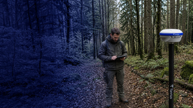
Operating across APAC, Latin America, EMEA and China, Tarrius combines advanced positioning technology and specialist industry expertise with Quectel’s global engineering, manufacturing, and service capabilities, to deliver dependable, high-accuracy solutions for demanding field applications including surveying and mapping, deformation monitoring and machine guidance. Tarrius combines precision positioning, reliable connectivity and efficient data transmission to enable more accurate, streamlined digital workflows in the field.
“Tarrius is built around a simple promise, a precision you can build on. We’re combining centimetre- to millimetre-level positioning with seamless connectivity and efficient data transmission to create dependable digital workflows for demanding surveying, monitoring and construction applications,” commented Windy Fang, GNSS Product Director, Quectel. “We can offer customers not just advanced technology, but a dependable long-term partner wherever they operate.”
Tarrius is launching with a broad portfolio of high-precision GNSS products for surveying and mapping, deformation monitoring and machine guidance that will be demonstrated at INTERGEO and will be commercially available in November 2026. The range includes GNSS receivers, reference stations, field controllers, monitoring and guidance receivers and high-precision antennas, alongside Tarrius software for managing field work, correction services and monitoring projects. Together, the portfolio gives customers the tools they need to collect, manage and use accurate positioning data throughout their day-to-day operations.
For surveying professionals, the compact TR10 combines visual AR stakeout with calibration-free tilt compensation and RTKHOLD technology, while the TR12 adds dual cameras and an integrated laser rangefinder for measurements in locations that are difficult or impractical to reach. The TR12B provides a dedicated base station option, with a built-in 5W UHF radio offering coverage of up to 15km and a rugged design for demanding field environments.
The portfolio also addresses permanent installations and specialist applications. The TR09N is designed for continuous operation as a GNSS reference station, combining full-constellation tracking with global 4G LTE connectivity and low power consumption. For deformation monitoring, the TR07M brings together millimetre-level positioning, automatic data collection and transmission, and cloud and edge processing, while the TR07B provides an integrated base station solution for distributing GNSS correction data. The range is completed by the TR05G, a heading and guidance receiver designed for machine control applications.
Tarrius will be showcasing its new product portfolio at INTERGEO in Munich at stand C6D102 on 15th - 17th September.